The World, Reference Maps and Forms (Reproducible Resource)
The World, Reference Maps and Forms (Reproducible Resource)
Low stock: 1 left
Item Condition: NEW
Couldn't load pickup availability
The World, Reference Maps and Forms by Jo Ellen Moore
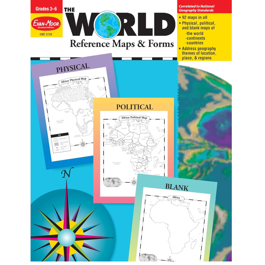
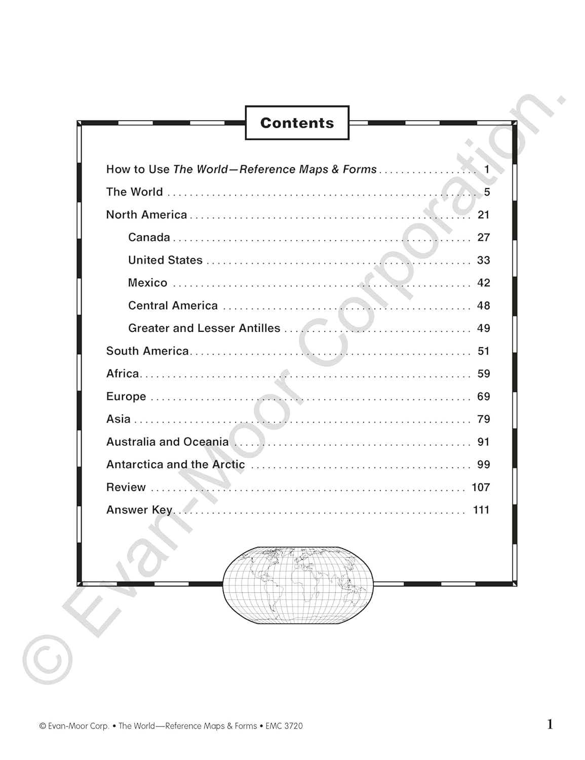
The World, Reference Maps & Forms will help children become more knowledgeable about the Earth as they work with the up-to-date political, physical, and thematic maps presented. Three geography themes location, place, and regions are addressed. The World, Reference Maps & Forms contains 92 maps, evaluation forms, a crossword puzzle, a word search, and an answer key. The first section,
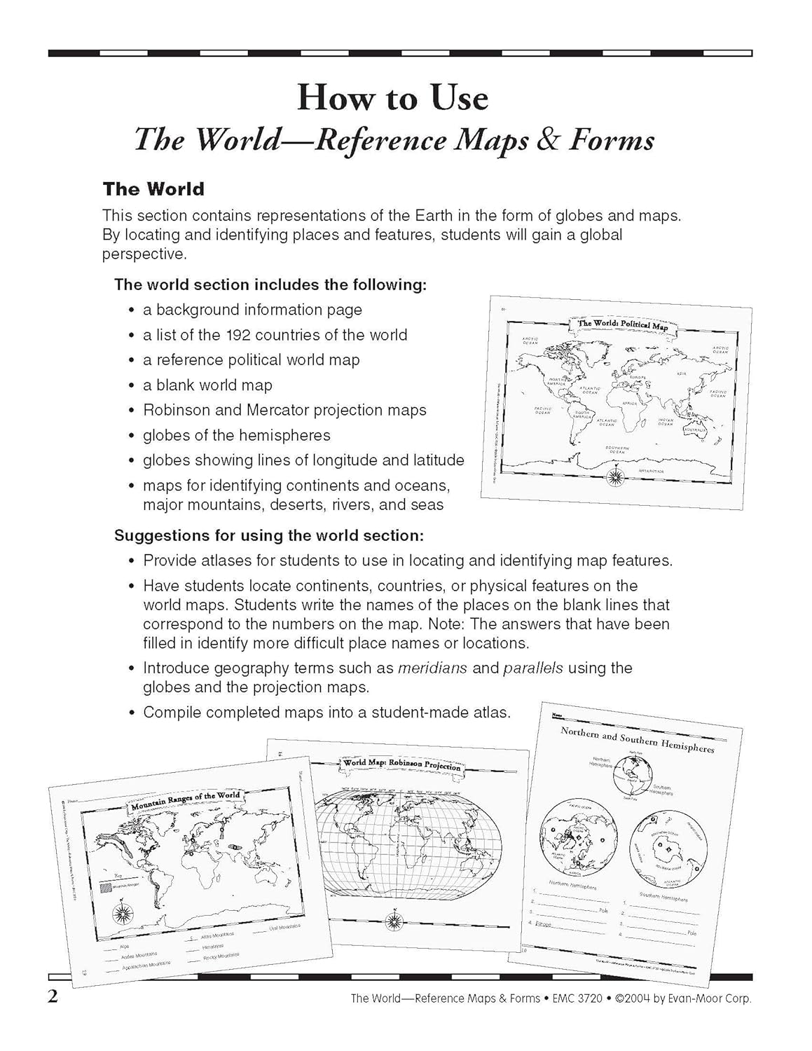
The World, includes:
- an introduction of general facts about the world
- a list of 192 countries in the world
- a reference political map of the continents
- a blank world map
- Robinson and Mercator projection maps
- globes, showing hemispheres, parallels, and meridians
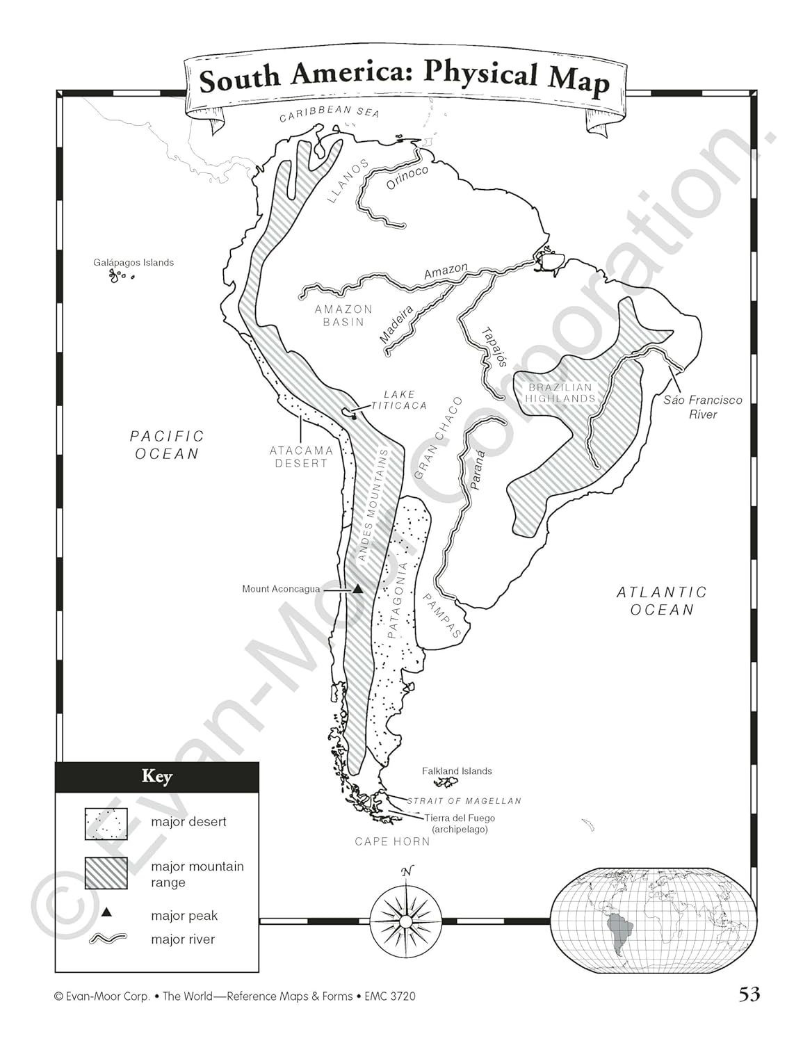
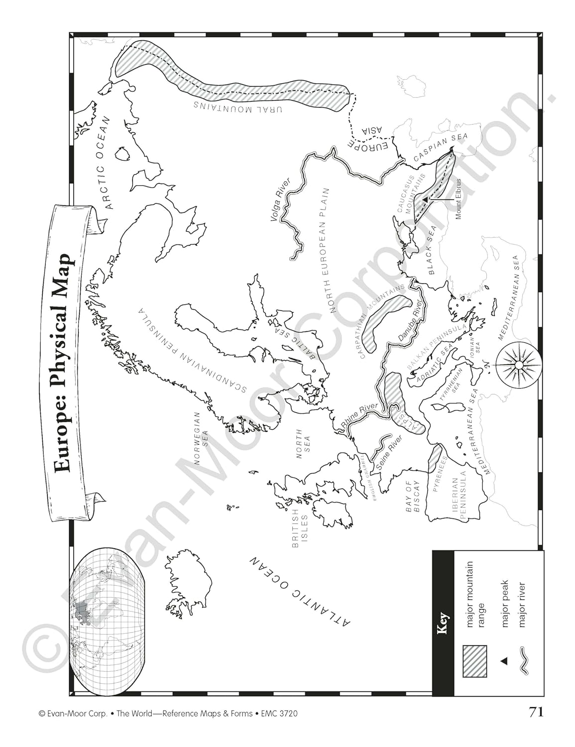
- maps of oceans, rivers, mountain ranges, and deserts
The second section, The Continents, includes: North America:
- an introduction, listing the countries, area, population, elevations, and fun facts about the continent
- reference political and physical maps of North America, Canada, the United States, and Mexico
- blank outline maps of North America, Canada, the United States, and Mexicoshape, political, and physical study maps of each region of the United States and Mexico and the provinces and territories of Canada
- a reference map of six regions of the United States study maps of Central America, the Greater Antilles, and a reference map of the Lesser Antilles
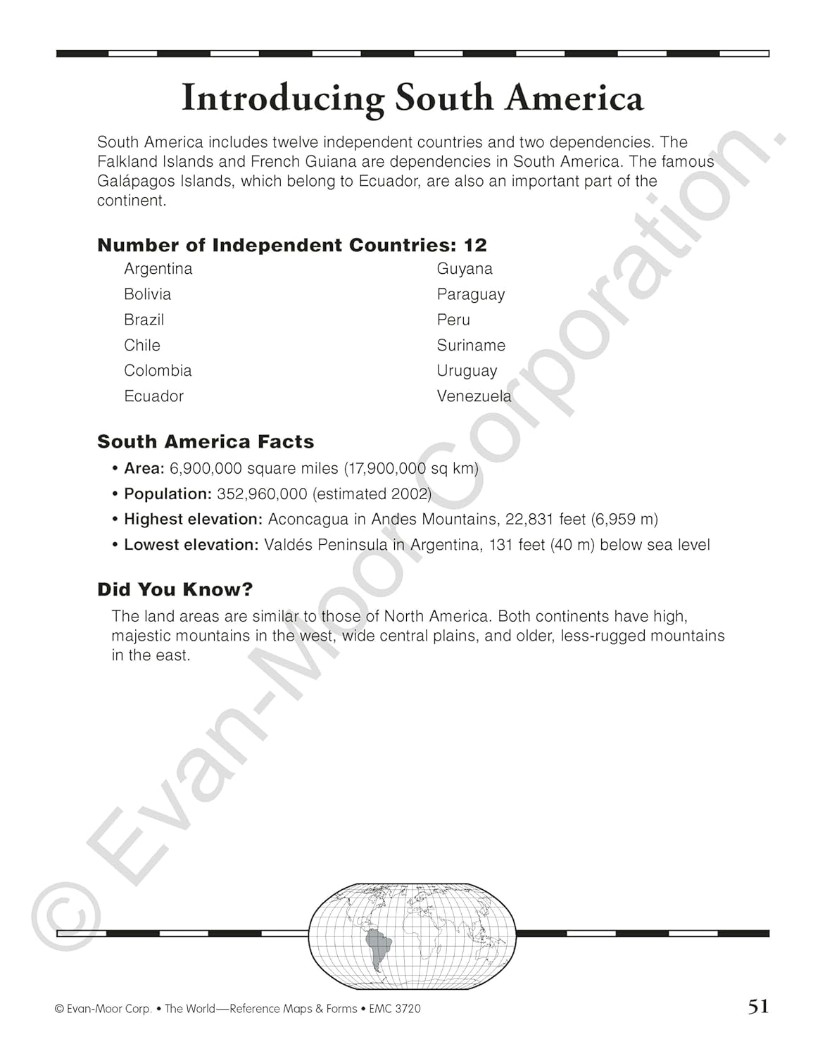
Africa, Europe, Asia, and Australia
- an introduction, listing the countries, area, population, elevations, and fun facts about the continent
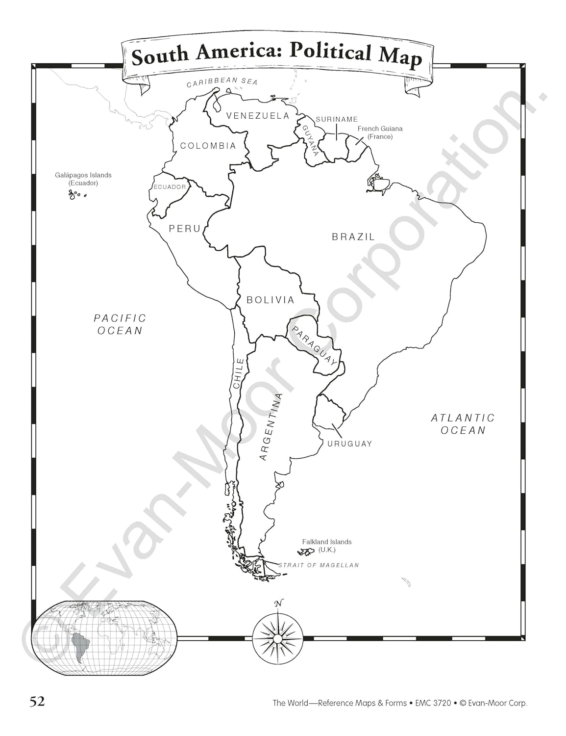
- a reference political and a physical map of the continent (a political map of Oceania is included with Australia)
- blank outline maps of the continentshape, political, and physical
- study maps of regions of the continent
Antarctica and the Arctic Region
- an introduction, listing the area, elevations, and fun facts about the continent
- reference polar projection maps of Antarctica and the Arctic Region
- a reference map of the scientific stations in Antarctica
- blank outline projection maps of Antarctica and the Arctic Region
We also have Maps of the U.S.A. available.
Book Details:
- Number of Pages: 112
- Book Size: 8-1/2" x 11"
- Book Type: Paperback
- Recommended Ages: 5-13
- ISBN 10: 1557999546
- ISBN 13: 9781557999542
Book Condition:
- This book is brand new and is in perfect condition.
Why We Love It
This is an excellent reproducible resource book for parents and educators to use with their children!
Share